SnoFax
Travel • Sports • Preparedness
SnoFax exists to provide you with an ACCURATE & HONEST snow report for skiing in Big Sky Montana w/ ZERO marketing bias so that you can be prepared & make the most of every day on the slopes. After four years as a snow reporter for Big Sky Resort, Mario Carr has set out on his own to create a platform where everyone can find all the information they need to have a great day on the mountain.
Interested? Want to learn more about the community?
More wind! Windier!

Liberty opened yesterday! Variable not terrible reports say. Could see wind holds out there today with mid mountain gusts over 50mph! Chance for snow!

Interested? Want to learn more about the community?
What else you may like…
Videos
Podcasts
Posts
Articles
Ice rink roads Big Sky

Slicker than snot, dead stop at town center

00:00:08
MORE SNOW FALLING IN BIG SKY 11/05/2024

A couple of inches already this morning and it's not stopping any time soon!

MORE SNOW FALLING IN BIG SKY 11/05/2024
SNOW on The Mountains!

6" recorded at ANDESITE, LIKELY EVEN DEEPER HIGHER UP! WINTER IS COMING SOON!

SNOW on The Mountains!
SnoFax. A snow report by the people, for the people.

Share this with your friends and let's create a new future of snow reports for Big Sky.

SnoFax. A snow report by the people, for the people.
Mountain of mash...

Yesterday's temps his the mid 30's alright... at the summit! An absolute scorcher to say the least. Westerly winds continued to blow to 40mph up there, and needless to say the rest of the resort was practically a meltdown. Temps are still above freezing at mid mountain so things probably won't be terribly icy and there may still be chalk in the bowl. More meltdown today as the sun continues to shine down! Clouds this afternoon, snow hopefully this evening... forecast temps for the next two days of snow have climbed, lessening snow totals and increasing chance of rain... fingers crossed!

More of the same!

More sun, temps to mid 30's and stead winds out of the west, gusting over 40mph at the summit! Wind blow chalk in the bowl!

SnoChunx

Today's report consists of more bodily fluids and suffering. Sorry again about the lack of reporting. We've been hit hard!

post photo preview
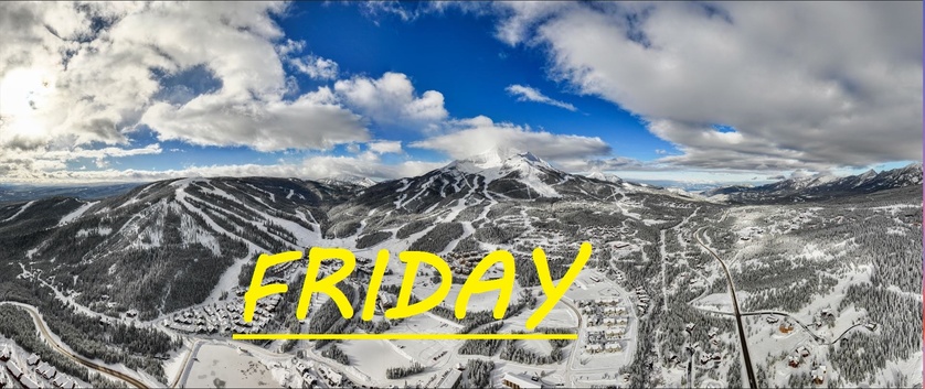
3-6" of freshies, MORE WIND SnoFax 12.19.25
lots of wind drifts today... more storm skiing, wind holds

3-6" of freshies in last 24 hrs-- Andesite receiving the most snow

Snow fell most of the day yesterday and well into the evening, seemingly favoring Andesite, dumping 6" straight onto the snow stake there in the last 24hrs. All other stations reporting about 3-4" of total accumulation, but the winds have howled overnight, likely spreading this snow around and creating some deep wind drifts. Gusts over 50mph at the summit all night long, out of the Southwest, hopefully loading up our Bowls. Likely scouring on Challenger, but if the angle is right there could be some great drifts up there as well. Seems like Moonlight got less of this snow, but I've gotta hope skiing is going to open up soon over there.

Today's temps are expected to range between 19°F at the summit, and 35°F down at the base by the end of the day, and winds are expected to continue to howl out of the Southwest, gusting over 35mph at mid mountain this morning, before hopefully dying down once again and giving way to more snow as cold air rolls in from the Northwest starting around noon. 

More storm skiing on the menu today! Possible wind holds out there this morning if this system lets out one last gust before surrendering to the slower moving colder air from the Northwest. Other than that continue to ride with caution as our mid mountain base is still barely 2 feet deep, and this is just enough snow to hide the rocks at this point. Follow the drifts and lean back! As always, remember to stay safe, and have fun out there.

Read full Article
post photo preview
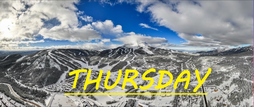
Wind drifts galore! SnoFax 12.18.2025
2-3" of heavily windblown freshies, drifts to 6"+, TEMPS DROPPED

24 hour snow: 2-3" of heavily windblown snow, drifts to 6"+

Well Montana storm skiing is back on the menu after yesterday's storm delivered a few inches at the most across the resort, while shutting down the mountain. Doubtless there will be great patches of wind loaded skiing in places like the Bowl, and Rice Bowl! When it comes to the upper mountain, it's going to be very hit or miss, with loads of scouring on both North and South Faces. But along the flanks that this wind followed, you're sure to find some goodies. Peak wind gust was 84mph out of the West. Today, temps have dropped 20°F as colder air from the Northwest continues to mix with this faster moving air from the South. An interesting forecast ahead, but an optimistic one for snowfall in my opinion.

Temps are around 10°F at mid mountain, and are expected to slowly climb back to the mid 20's by the end of the day. By that time another wave of snow is expected to roll in. Some forecasts saying with winds from the South, others saying straight out of the West, while our Summit weather station is already indicating more NW winds, further evidenced by the 20°F temp drop. Winds are still steady up there, and expected to continue to gust to about 35mph all day long. Clouds loom and snow could really begin at any moment, but is not expected to until the afternoon.

Well winter has been more of a wind-ter so far, and if we could see an end to this constant blowing, and a start of some more snowing that would be fantastic! Colder, slower moving storms out of the Northwest always give me more confidence in accumulation, as the systems follow a much different path on the jet stream, and settle in.


Read full Article
post photo preview
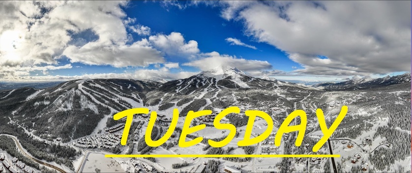
Tuesday 12.16.25 SnoFax
70mph winds, Minimal Snow

Well unfortunately and unsurprisingly enough, these high winds have prevailed and have driven down our chances for snow fall. Winds over 70mph at the summit already this morning, and it's not expected to die down any time soon, in fact I'm guessing we may see over 100mph tomorrow. That being said these warm temps may have nuked the low elevation South Face parts of the mountain, however because the sun is so low in the sky, and the breeze has been cool, the rest of the snow has been essentially preserved, what little snow there is. 

Today's temps are expected to range between 20°F and 38°F, so a little colder than yesterday, and winds are expected to continue howling out of the West/Southwest. Snow is expected to fall this morning, but I only expect a trace of accumulation. 

There's still great chalky skiing to be had on the South Wall in the Bowl. Other than that it's firm and fast groomers, that thankfully are mostly grippy, with the occasional ice patch here and there. My prayer is that whenever this endless wind subsides, then a slow moving, friendly patient and jolly snow storm from the North will bring great gifts to our mountain in time for Christmas. As always remember to stay safe, and have fun out there.
Read full Article
See More
Available on mobile and TV devices
google store google store app store app store
google store google store app tv store app tv store amazon store amazon store roku store roku store
Powered by Locals