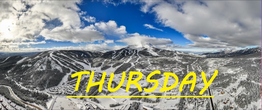
3-6" of freshies in last 24 hrs-- Andesite receiving the most snow
Snow fell most of the day yesterday and well into the evening, seemingly favoring Andesite, dumping 6" straight onto the snow stake there in the last 24hrs. All other stations reporting about 3-4" of total accumulation, but the winds have howled overnight, likely spreading this snow around and creating some deep wind drifts. Gusts over 50mph at the summit all night long, out of the Southwest, hopefully loading up our Bowls. Likely scouring on Challenger, but if the angle is right there could be some great drifts up there as well. Seems like Moonlight got less of this snow, but I've gotta hope skiing is going to open up soon over there.
Today's temps are expected to range between 19°F at the summit, and 35°F down at the base by the end of the day, and winds are expected to continue to howl out of the Southwest, gusting over 35mph at mid mountain this morning, before hopefully dying down once again and giving way to more snow as cold air rolls in from the Northwest starting around noon.
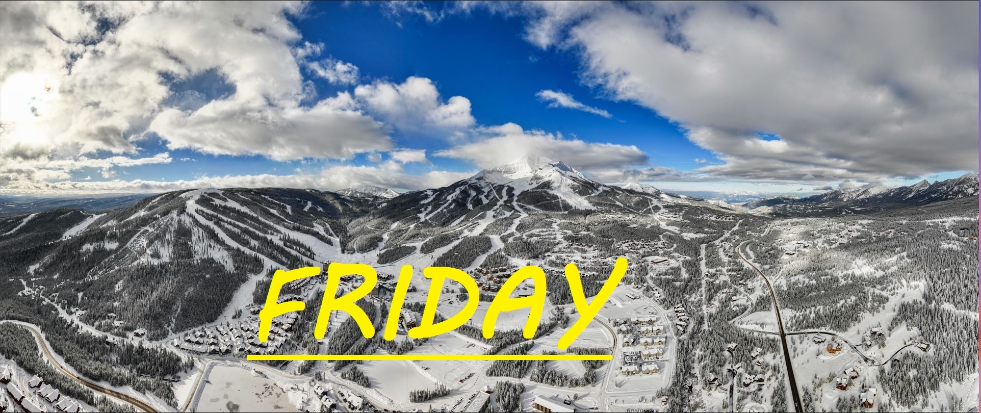
More storm skiing on the menu today! Possible wind holds out there this morning if this system lets out one last gust before surrendering to the slower moving colder air from the Northwest. Other than that continue to ride with caution as our mid mountain base is still barely 2 feet deep, and this is just enough snow to hide the rocks at this point. Follow the drifts and lean back! As always, remember to stay safe, and have fun out there.