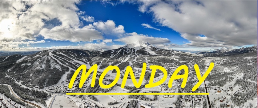
3" AFTER CLOSE LAST NIGHT, STORM TOTAL 7" AT LOBO
MID MOUNTAIN BASE DEPTH AT LOBO 29.4"
Good morning skiers and snowboarders, this is Mario with your SnoFax report for Monday, December 16th, 2024. Yesterday's storm finished off the day with a few more inches after close, and we've got even more snow on the way today and tonight. Westerly winds have been steady, gusting to 30mph at the summit, sure to be moving this snow around and filling in the gaps. Temps have dipped into the single digits, and this newest snow has sat and settled for more than 12 hours. More great Montana storm skiing on the menu today, so make sure to dress warm, and be ready to chase some powder.
WIND AND TEMPS: Today's temperatures are expected to range between 12°F at the summit, and 25°F at the base, with mid mountain temps in the teens, and winds are expected to blow out of the Southwest, gusting to 35mph at the summit. All of this under cloudy snowy skies, with snow rolling through this afternoon.
The faucet is on and the snow is dripping in inch by inch. Tracks are being filled in as you ski them and the mountain is losing some of it's rough edges. These are truly some amazing conditions to behold before Christmas. As skier volume increases, so does compaction, so take advantage of this powder before it's all packed. It's certainly not time to let loose through the trees or over those blind knolls, but the buffer between us and a bad time is growing.
As always, remember to stay safe, and have fun out there.


