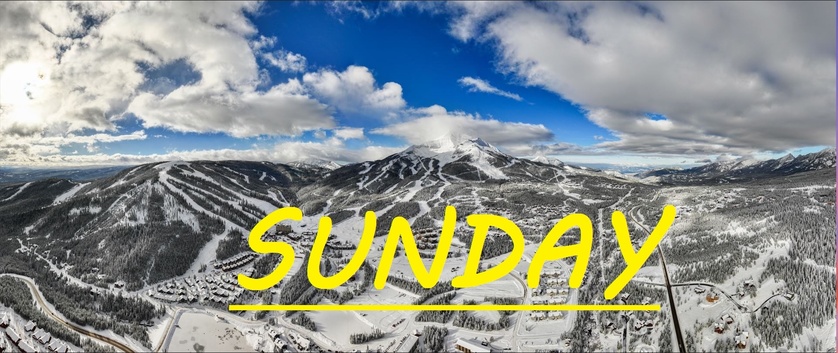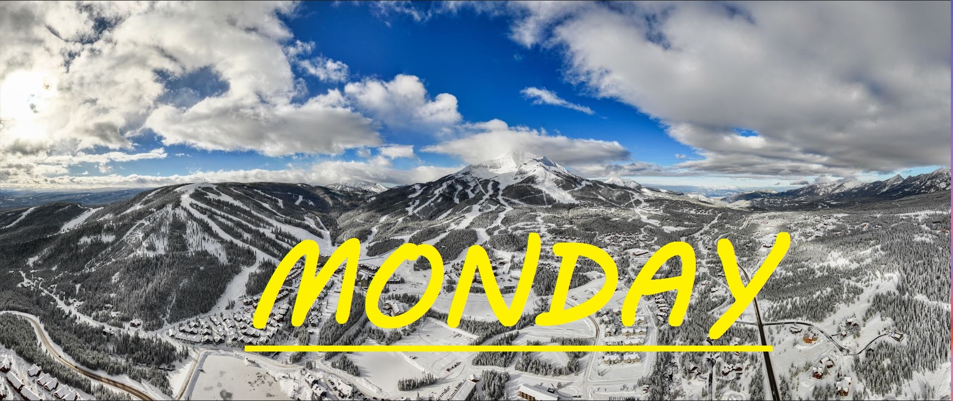
24 HR SNOW: TRACE-1"
Just about a trace to an inch of snow across the resort in the last 24 hours. Temps are in the 20's at mid mountain and Westerly winds are gusting to 50mph at the summit. Once again snow is expected this evening, but if the winds pick up, maybe we will see some flakes before the lifts stop spinning today. Expect more cross loading in the Bowl, and possibly some wind buffed turns on the top Challenger, once you get out of the rocks. More off piste options at mid mountain now as well including Rice Bowl, which can be a great place to find wind loaded stashes on low snow days.
Today's temps are expected to range between 16°F, and 28°F, with winds out of the S/SW gusting to 40mph at mid mountain by the end of the day. All under mostly cloudy skies with snow not expected to fall until 4pm, but I'm feeling a bit more optimistic than that.
Every day is still a low snow day really, with the mid mountain base just below 2 feet deep. This storm that is expected to linger all weekend is forecasted to bring warmer wetter snow, along with more sustained winds than we have seen thus far. It all is going to depend on how the cold air creeps down from the North to meet with these strong winds out of the South. Since we've opened temps have for the most part been truly ideal for skiing, not to cold not too warm. Hopefully this snowy weekend primes us to get through what looks like a mini-warm snap next week.