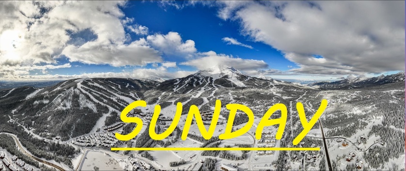
TRACE-1.5" IN LAST 24 HRS
Sorry for the delayed correspondence as we rally after a drunk woman was pounding on our door and attempting to sleep on our porch the other night, followed by our toddler contracting a stomach bug. But today we've got a trace to an inch of new snow in the last 24 hours, and flakes are currently falling! More runs and lifts opening rapidly, as Iron Horse offered up some nice powdery turns the last couple of days. My hopes are that when Moonlight opens up, that the snow pack and base over there will be significantly better than it is on the Big Sky side, however there will still be lots of sharks lurking in Headwaters bowl and off of the top of Lone Tree if things don't really pick up here soon.
Today's temps are expected to range between 28°F and 38°F, with that warm breeze continuing to howl out of the West/Southwest, gusting to 50mph at the summit. All under snowy skies that are expected to deliver some minimal freshies throughout the day today.
A better chance for snow tonight and into tomorrow, with sun expected through the weekend before we can hope for our next storm. Things are improving bit by bit, and it seems ski patrol has been going hard to attack all of the weak snow layer that formed early this season, only to be covered up by heavy wind slabs after this new snow followed by high winds. Warmer temps today and through this weekend, keep praying for snow and letting the SnoFax community of any potential hazards out on the mountain.