4" NEW SNOW LAST 24 HOURS, MORE ON THE WAY
1 FOOT + IN LAST 4 DAYS
MID MOUNTAIN BASE DEPTH AT LOBO 40"
West/Northwest winds have rolled in, bringing with them a 10-15°F temperature drop overnight, and a few more inches of snow. We can expect cold temps, calmer winds, and continued snowfall today. We may not have gotten a huge dump overnight, but there are certainly going to be some awesome turns out there today. With the winds shifting and calming down, different aspects are now being loaded. Each 3-4" snowfall this week has been systematically compacted, meaning our snowfall today rests on the deepest, best base yet. There's no going wrong out there today, just dress warm and be prepared to ski flat light once again.
WIND AND TEMPS: Today's temps are expected to range between 1°F at the summit, and 21°F at the base, with mid mountain temps in the teens, and winds are expected out of the West at 15mph mid mountain, and 25mph at the peak.
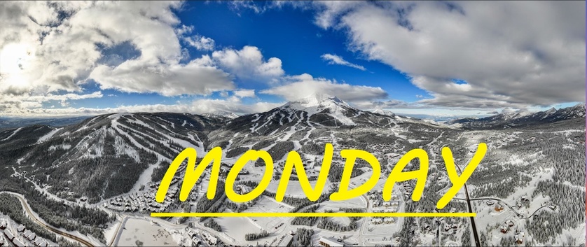
Our Lobo station has recorded 38" of snowfall so far this December. If winter keeps up like this, we are in for a good one. Consistent cold temps, and continuous deposits of snowfall like this create the best possible conditions for skiing in Big Sky in the long run. Our mid mountain trees are fast and flowy, the upper mountain is shaping up nicely, and as far as I know holding strong and stable. Make the most of this magical Monday as there may be a slight lul in crowds as many people try to travel home for their New Year's parties today.
As always, remember to stay safe, and have fun out there.


