TRACE OF NEW SNOW, SW WINDS INCREASING
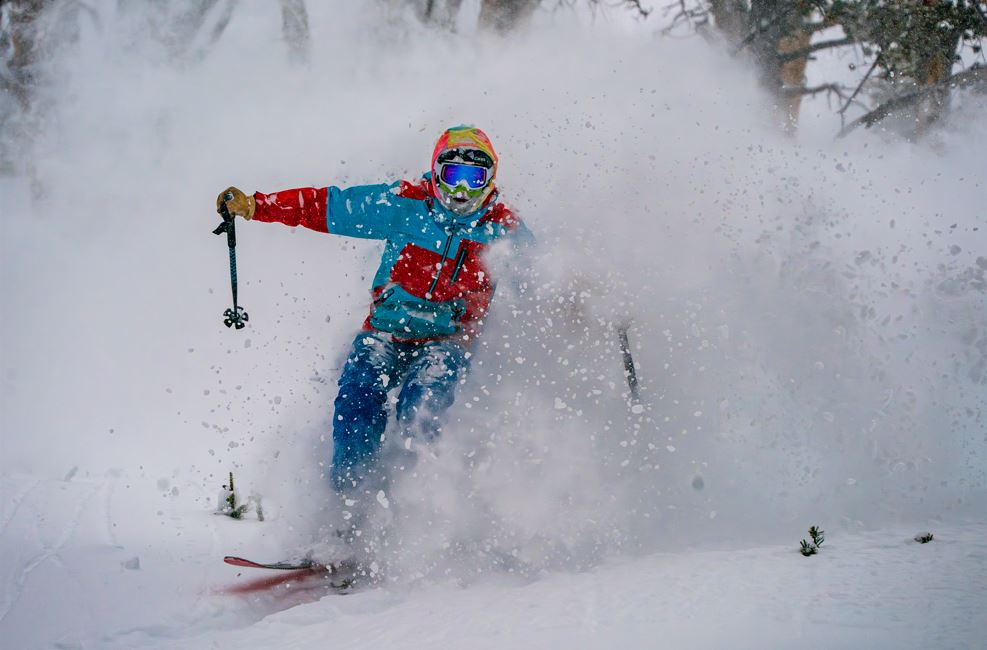
Happy new year to all and there's plenty of new snow here, and plenty more on the way. Yesterday's break in the clouds seems to be the only glimpse of sun we will have this week, according to the forecast. Temps are cold again today, with more wind and less sun, so dress accordingly. All of this snow has made all the terrain that is open very fun to ski, but it is also preventing Patrol from being able to open the final wave of terrain. Hopefully they will get a chance to drop the final ropes soon.The mountain is skiing fast, smooth, and forgiving. Get out early this morning before the hangovers ware off.
WIND AND TEMPS: Today's temps are expected to range from 1°F at the summit, to 19°F at the base, with mid mountian temps around 10°F, and winds are expected out of the Southwest, gusting to 40mph at the summit, and 20mph at mid mountian.
Well our 40" mid mountian base has arrived, along with this new year. What a time to be alive. I've learned a lot in the last year, much of it nearly impossible to put into words. But I am thankful for SnoFax and the overwhelming support I have received in my vision of an independent snow report by the people for the people. Don't be afraid to join up, and to contribute, and to reach out to me about your vision of SnoFax as well.
As always, remember to stay safe, and have fun out there.


