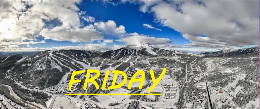
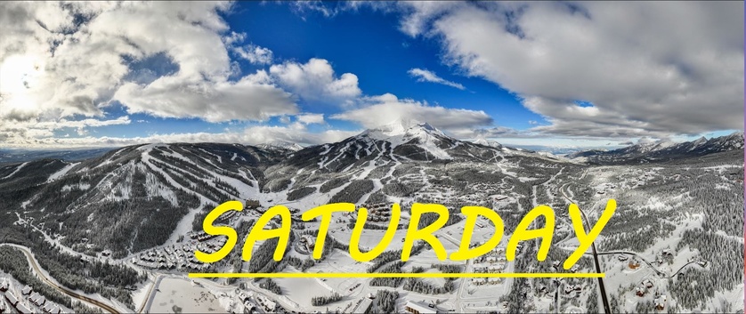
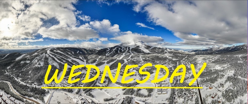
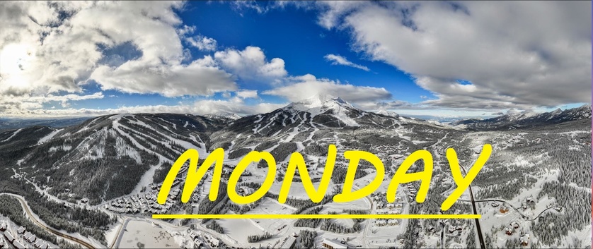
SNOW STARTING TO ACCUMULATE, TEMPS ALREADY DROPPED 20°F
MID MOUNTAIN BASE DEPTH 45.3" AT LOBO
The snow has only just started falling at around 6 am this morning, and temps have dropped 20°F since yesterday. Thankfully, it seems the high winds yesterday were keeping the South Face chalky, and wind buffed, preventing it from melting and becoming crusty today. As for lower mountian terrain that was out of the wind and in the sun, expect to feel a bit of crunch out there this morning, unless we get some significant snow between now and opening. Temps don't seem like they're going to drop as low as previously expected today, but we are still looking at negatives at the summit, and single digits at midmountain. SW winds have just given way to the N by NW winds bringing this cold air and snow, and could be brewing another long lingering storm that gets trapped over our big mountain.
WIND AND TEMPS: Today's temperatures are expected to range between -6°F at the summit, and 12°F, with mid mountain temps around 5°F, and winds are expected out of the North, gusting to 20mph at the summit. Clouds and snow are expected all day long.
When there is snow falling, and clouds in the sky, it never seems to get as cold as forecasted, simply because I believe this moisture traps in some heat. We will have to wait and see when the sun comes up and starts to break up these clouds. Webcams show some significant snowfall so far, so let's hope that it keeps up. Similar temps with varying cloud cover and snow for the next few days, so make sure you're prepared for some crunchy sticky snow.
As always, remember to stay safe, and have fun out there.


