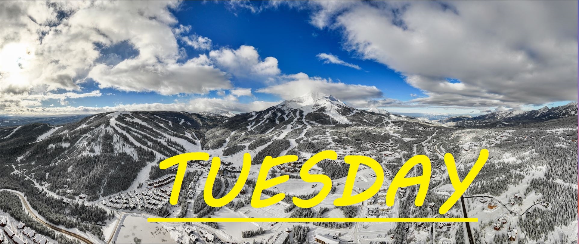
NO NEW SNOW FOR 3 DAYS, TEMPS IN TEENS AND WINDS TO 50MPH
No new snowfall for three days, and really only a few inches in the last week, but the greatest news is that temps have risen 32°F in the last 24 hours and we're still well below freezing. That's right we've seen it rise from -25°F to 7°F at the summit. Westerly winds have begun howling, and are expected to continue to do so all day long. It looks like we can expect some higher flying cloud cover, as no real snow is expected. Todays skiing should feel like a walk on the beach if you've been out the past few days. Expected further chalkification of the upper mountain, and some varied wind loading on the South Face. Other than that, our groomers, bumps and trees are should all be getting nice and packed in, waiting patiently for the next storm.
WIND AND TEMPS: Today's temps should range from 7°F at the summit, to 19°F at the base, with mid mountain temps in the low teens, and Westerly winds are expected to hit over 50mph at the summit, and 25mph at mid mountain. All under cloudy skies, with some sun poking through this afternoon.
Another holiday weekend has come to a close, and this one barely felt like a weekend due to the cold. Let's pray that the entire country continues to get blessed with snow, as this winterly prosperity has seemed to continue to send skiers all over, preventing them from bottlenecking in our lift lines. Thus Far, believe it or not, the Old Farmers Almanac prediction for our weather has been pretty spot on, with feasts and famines of snow. Now we are not starving for new snow by any means right now, and the few traces we have gotten throughout this cold spell have helped tremendously, but lets hope that the next time snow rolls through, it comes with the same intensity, and duration as our previous storms. Looks like double digits again this week, then back into the single digits once again through the weekned.
As always, remember to stay safe, and have fun out there.


