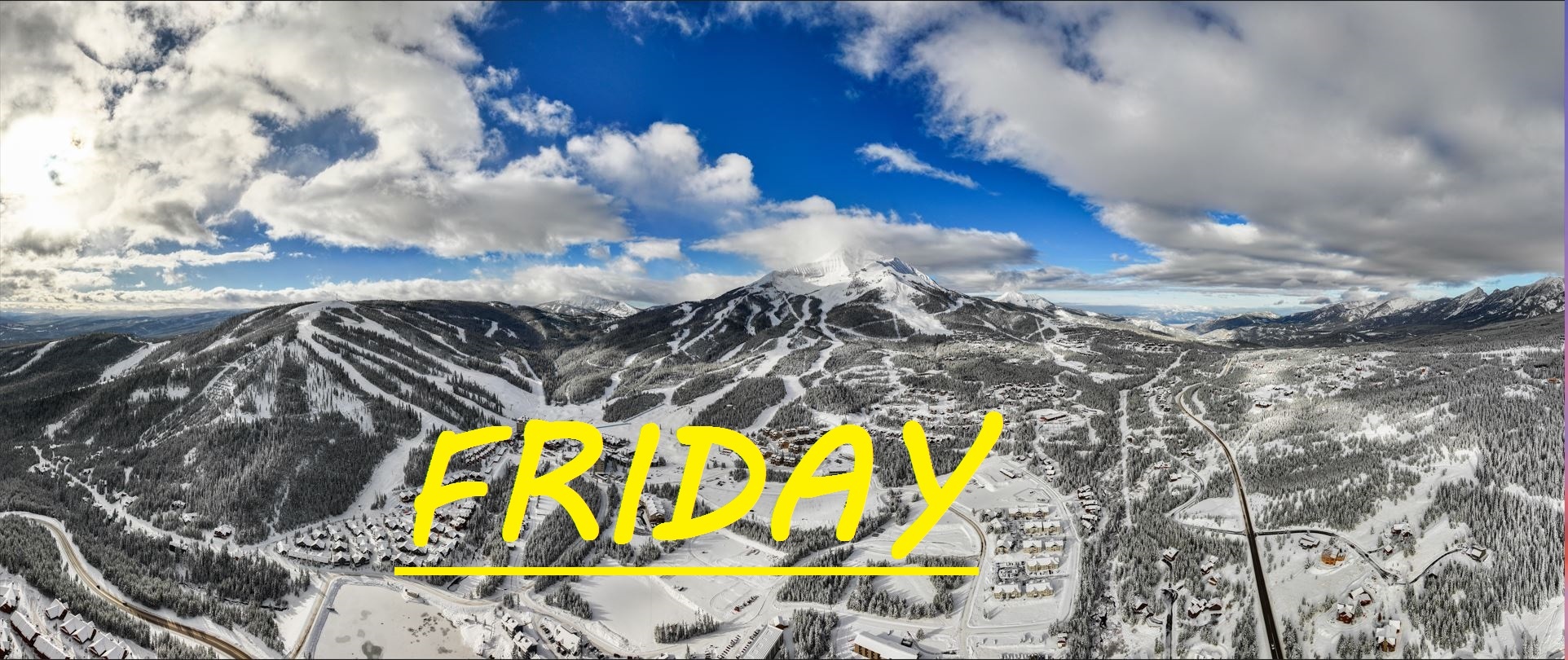
TRACE OF NEW SNOW IN LAST 24 HOURS
Yesterday's cloud rolled in, bringing with them just a trace of new snow. Westerly winds have continued to blow over 40mph overnight as weather from the North and South converges at Lone Mountain. All of this wind has made for some great skiing off of the Tram on the South Face, and The Bowl has been wind buffed into one giant groomer. East and North facing slopes like The Gullies and sections of skiing off of Challenger have suffered, as well as I would assume The Big and The Snowfield, but there's still plenty of good skiing to be had as long as you follow the wind. The forecast is calling for a decent amount of snow today starting as soon as the lifts start spinning. Cold air from the North, even drifting in slightly from the East could make for a great storm, that could re-load some of our slopes.
WIND AND TEMPS: Temps should range between 0°F at the summit, and 18°F at the base, with mid mountain temps in the low teens, and winds are expected out of the NW this morning, potentially shifting slightly NE this afternoon. All of this under cloudy skies, hopefully bringing a healthy dose of powder.
After today's storm there's a string of sunny days forecasted through next week. Thakfully we have already gotten about 4 feet of snow at mid mountain this January, so everything is going to hold up just fine. Hopefully today provides even more than expected, and our next storm shows up soon and hangs out for a while. Keep an eye on the wind and stay tuned to SnoFax so you can try to catch sleeper days like yesterday.
As always, remember to stay safe, and have fun out there.


