SnoFax
Travel • Sports • Preparedness
1/25/2025 SnoFax Report, LEFT OVER POW, AND SINGLE DIGIT TEMPS
January 25, 2025
post photo preview

24 HOUR SNOW TOTALS AS FOLLOWS:

LOOKOUT RIDGE: 9"

LOBO & BAVARIA: 6"+

ANDESITE: 5"

Well yesterday's rare and faithful NE storm delivered 9" of Cold Smoke to the North Side, with most of it falling yesterday morning and trace to an inch overnight. This is the first storm in a while that has favored the North Side of the Mountain, but the South Face was not left unloved, with Bavaria and the rest of the mountian receiving 6" or more. With this snow we've seen roughly a 20°F temp drop over 24 hours, and a cold breeze fluttering in from the East. Doubtlessly there is powder to be found all over, with many neglected aspects hopefully being revived again by this uncommon weather pattern. Flakes were falling uniformly and were lighter than air, so yesterday they offered little to know cushion, but perhaps overnight with temps dropping below 0°F, things are starting to settle in and condense a little bit.

WIND AND TEMPS: Another cold day expected today, with temps ranging between -8°F at the summit, and 14°F at the base by noon, with mid mountain temps starting off below 0°F. Winds should be calm, fluttering in from the NE, barely gusting to 20mph at the summit. All of this under a mix of clouds and sun. 

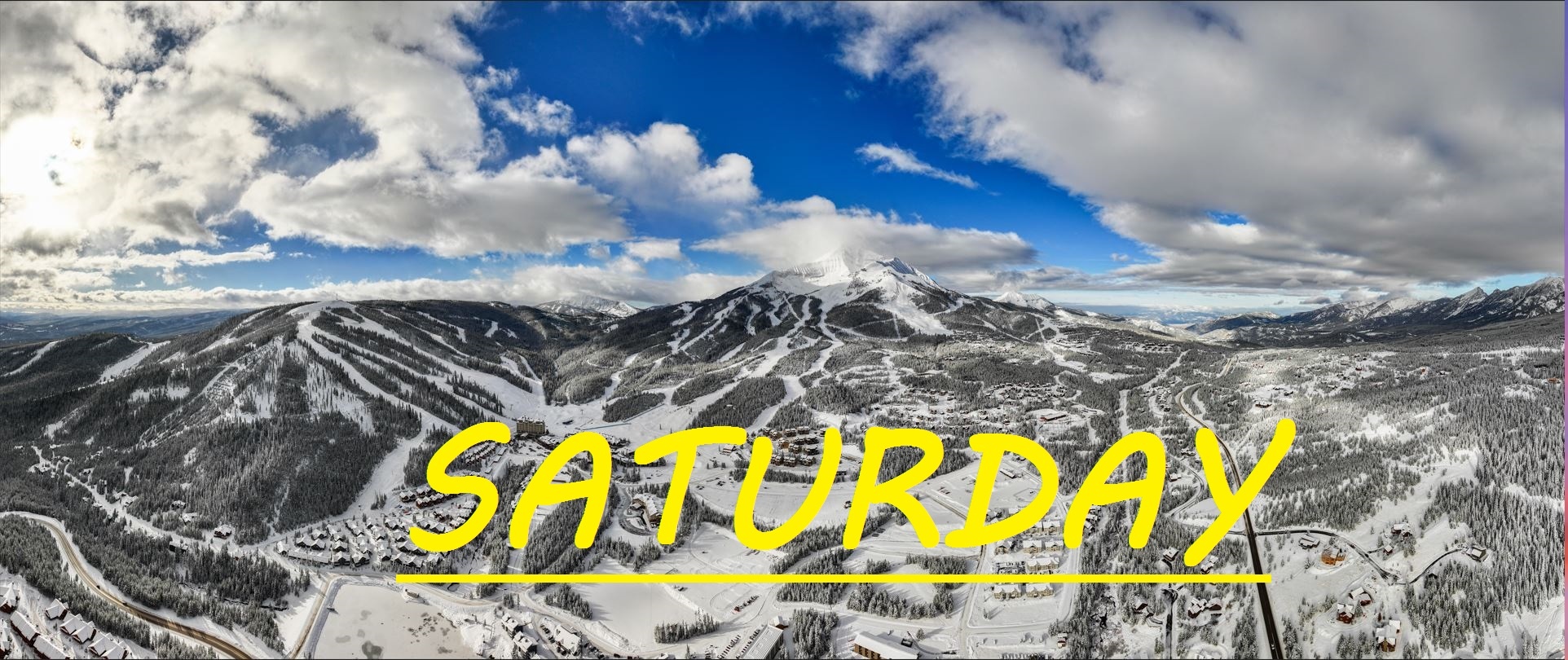
It's another chilly Saturday, and crowds are really just going to depend on whether or not people decide to make the drive. Roads are pretty bad right now, as this cold snow almost instantly gets packed into sheet ice when temps are this low. I would expect a surge today simply because we've got some sun in the forecast, and the resort is going to swing hard with this 9" number. That being said, it's really quite slow out here right now, and there's no going wrong with whatever terrain you feel like skiing. Groomers should even be great today with barely any snow overnight. A string of high pressure sunny days await us, so if you want to ski fresh snow now is the time. 


As always, remember to stay safe, and have fun out there. 

community logo
Join the SnoFax Community
To read more articles like this, sign up and join my community today
0
What else you may like…
Videos
Podcasts
Posts
Articles
Ice rink roads Big Sky

Slicker than snot, dead stop at town center

00:00:08
MORE SNOW FALLING IN BIG SKY 11/05/2024

A couple of inches already this morning and it's not stopping any time soon!

MORE SNOW FALLING IN BIG SKY 11/05/2024
SNOW on The Mountains!

6" recorded at ANDESITE, LIKELY EVEN DEEPER HIGHER UP! WINTER IS COMING SOON!

SNOW on The Mountains!
SnoFax. A snow report by the people, for the people.

Share this with your friends and let's create a new future of snow reports for Big Sky.

SnoFax. A snow report by the people, for the people.
4/24/2025 SnoFax

High Flying clouds, temps topping off at 40°F, we're in for another great day of fast, edge-able groomer skiing on the lower mountain. Doubtful that the South Face has healed up from the crust... Days like these fly by just like the winter season. Keep your skis on edge and you'll fly down the mountain easily. level them out and things might get a little grabby.

post photo preview
4/22/2025 SnoFax

Sunny Spring Skiing or cloudy with snow? Hard to say. Temps well below freezing for the last 24 hours, but that sun is out and shining right now. Expected to climb to about 40°F, things could soften up, but right around noon when that would happen, more clouds and snow could roll through. Chance for snow like this the next few days, sun Saturday, and maybe rain on closing day... But I doubt that... The weather cannot make up it's mind right now! Great day for groomers, maybe things off the Tram have gotten a little wind buff.

4/21/2025 SnoFax

Another inch over night so some more Dusty Crusty out there today! Hopefully winter stikes back full throttle with more snow today and tonight! Pretty sure North Side is closed and limited lifts for this last week. Get out and savor it while you can!

4/14/2025 SnoFax Update FREEZING TEMPS PREVAIL, FOR NOW...

TRACE OF NEW SNOW IN 48 HRS

Temps are still down, but the bluebird is out and sure to warm things up fast down low today. Up high, NW winds prevail gusting to 30mph, keeping temps well below freezing, and wind grooming the epic North Side spring skiing we have been seeing all month. Be ready to shed some layers if you get out there this morning as temps are expected to climb to the mid 40's. Another beautiful day on the mountain practically all to yourself!

Read full Article
post photo preview
4/10/2025 SnoFax Update MELTDOWN

NO NEW SNOW FOR 24 HRS

No new snow to talk about and things are expected to get HOT out there today. Typical spring skiing stuff which is why SnoFax has been slacking. Westerly winds topping 60mph provided awesome wind buffed skiing on the North Summit Yesterday, and down low, things took a while to soften up but soften up they did. 

WIND AND TEMPS: Westerly winds are expected to shift more Southerly, bringing temps to 30°F at the summit, and 55°F at the base, by the time we close. Clouds are expected to be rolling through all day long, hopefully keeping the sun from nuking our base. Winds are expected to die down, only gusting to 30mph at the summit. 

Another beautiful day with plenty of base to work with! Watchout for long catwalks once again as when temps get well over 40°F, things can get sticky. 


As always, remember to stay safe, and have fun out there.

Read full Article
post photo preview
4/6/2025 SnoFax Update SUPER SPRING SKIING

NO NEW SNOW

There's been no new snow for a couple of days now, and temps are going to be very springy out there today. Yesterday things didn't warm up too much, but it is going to be an icy morning out there for sure, as temps have dropped into the mid 20's. Today, strong sun, warm air and little wind are going to add up to warm conditions that will likely become sticky. The ideal window is something like 10:30-1:30 out there if you ask me. The Bowl, and North Facing upper mountain slopes should still provide soft wintery snow and chalky turns.

WIND AND TEMPS: Today's temps are expected to range beteween 25°F at the summit, and 45°F at the base, with mid mountain temps climbing to 40°F. And calm Westerly winds at lower elevations will gust to a max of 30mph at the summit, all under bluebird skies. 

Over the last 24 hours, NW winds have been steady at the summit, hopefully keeping our snow cold and recycled up there to prevent a thaw then a freeze, today, temps may get too warm to have that same hope, but you never know. Lots of warm weather this week as it seems the meltdown is beginning. Keep praying for snow!


As always, remember to stay safe, and have fun out there.

Read full Article
See More
Available on mobile and TV devices
google store google store app store app store
google store google store app tv store app tv store amazon store amazon store roku store roku store
Powered by Locals