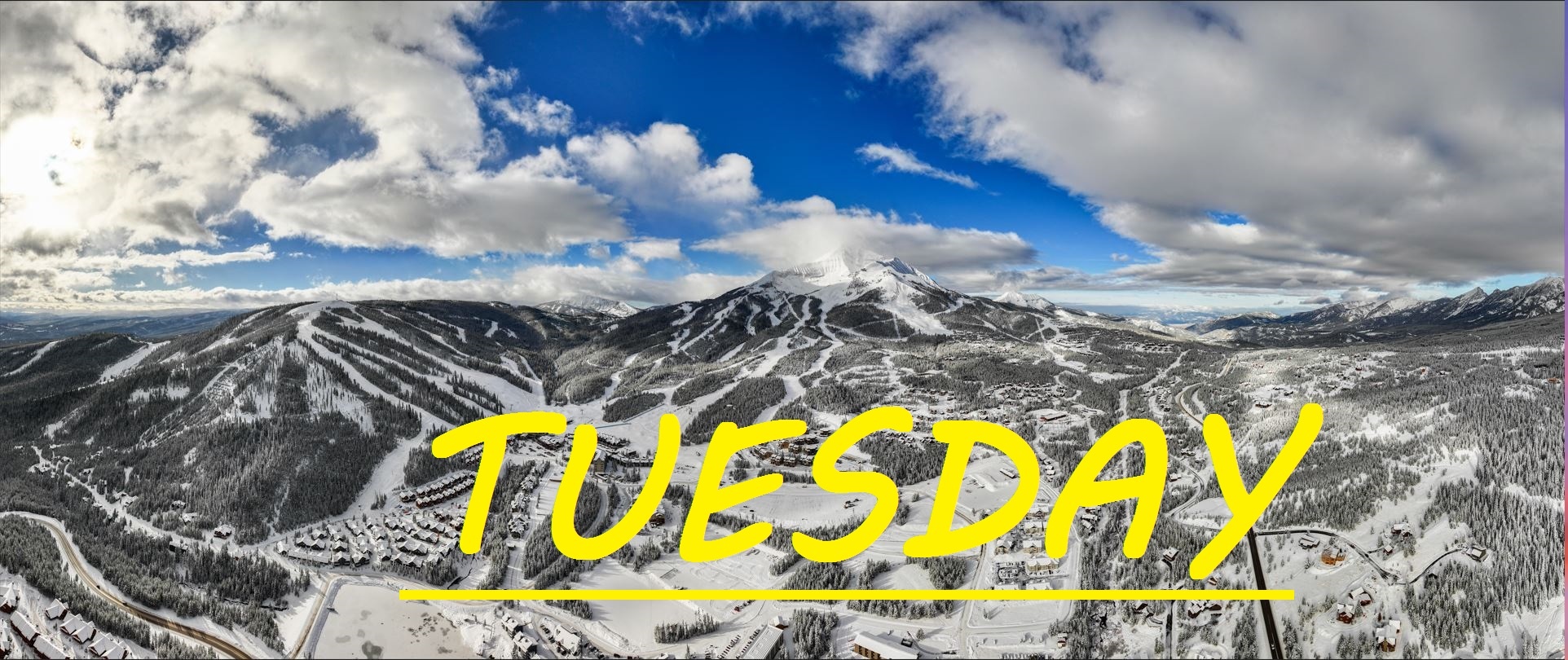
1-2" OF NEW SNOW IN THE LAST 24 HOURS, SOUTH WINDS RIPPING
Another 1-2" of new snow has blown in over the last 24 hours, and winds have shifted more Southerly. Gusting to 65mph at the summit overnight, these are the strongest gusts of this system yet. Expected to continue all day long, it's going to be another battle with the elements out there today. Temps have climbed by about 10°F in the last 24 hours, and are expected to continue to stay a little warmer than they have been. Undoubtedly, our upper mountain terrain is taking a hit with winds this strong, and from base to tram our mountain is being sculpted by these winds. The snow is expected to keep falling until noon, then pause until this evening.
WIND AND TEMPS: Temps are expected to range between 19°F at the summit, and 36°F at the base, with mid mountain temps in the mid 20's, and winds are expected to continue ripping out of the South, gusting to 60mph at the summit, and 35mph at mid mountain. All under cloudy skies.
There's a small chance for the sun to start poking through the clouds this afternoon, if not today than tomorrow as well. This S by SW system is expected to prevail for the next 48 HRS, as temps will drop back into the teens, then eventully into single digits once again as air from the North takes over again sometime Thursday evening. Today and tomorrow it is going to be the wind that changes our mountain, and change it will. Use those bubbles, dress warmer than what the air temp says, and follow the wind to find soft turns. Tree lines, gullies, sheltered areas, any thing that looks like a wind funnel should do the trick. Groomers should be decent today, with just a couple new inches overnight.
As always, remember to stay safe, and have fun out there.


