SnoFax
Travel • Sports • Preparedness
2/6/2025 SnoFax Update WINDS TO SUBSIDE, HOPEFULLY...
February 06, 2025
post photo preview

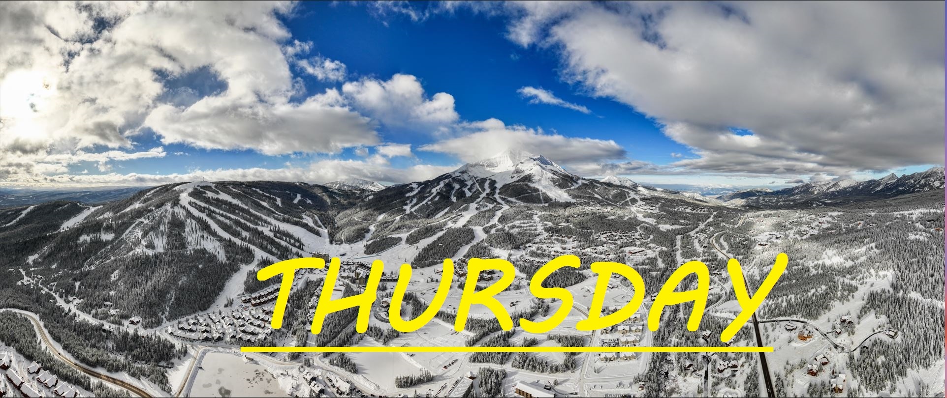
3" NEW SNOW IN 24 HRS

3" of new snow blew in with whiteout conditions yesterday afternoon, and skies have since cleared up overnight. Westerly winds have continued to rip, gusting 50mph. All of this wind is taking a toll on our mountain, as we saw yesterday with the Bone Crusher avalance above Swifty, I am not sure how patrol has responded across the rest of the mountain, but I am certain they are taking extra caution with all of these heavy wind slabs that have formed over the past week. Looks like Challenger provided nice, wind buffed skiing yesterday. Today should provide more of the same, with untouched groomers this morning. 

WIND AND TEMPS: Todays temps shouldd range between 3°F at the summit, and 23°F at the a base, with mid mountain temps in the low teens, and Winds are expected to continue out of the SouthWest, hopefully gusting to only about 30mph at the summit by noon. All of this under mostly cloudy skies, with more snow expected after close and for the next couple of days.

Expect more of the same out there today, chalky conditions up high, and wind buffed bumps down low and in the trees. Certainly yesterday's few inches did not have time to get skied out, and the wind likely reset a lot of it overnight. Looks like tomorrow we can finally expect another calm, slow rolling NW system to deliver us some powder. Enough of this wind, it's too stressful. Thankfully we have a great group of patrollers that work tirelessly to try to maintain control of this entirely uncontrollable mountain.

Thankyou for the contributions to SnoFax yesterday with info about the avalanche, espcially to Luke and Bryce, would love to see more of this on a regular basis. We are nearing 150 members which is amazing! And of course extra thanks to all of you supporters. 


As always, remember to stay safe, and have fun out there.

community logo
Join the SnoFax Community
To read more articles like this, sign up and join my community today
1
What else you may like…
Videos
Podcasts
Posts
Articles
Ice rink roads Big Sky

Slicker than snot, dead stop at town center

00:00:08
MORE SNOW FALLING IN BIG SKY 11/05/2024

A couple of inches already this morning and it's not stopping any time soon!

MORE SNOW FALLING IN BIG SKY 11/05/2024
SNOW on The Mountains!

6" recorded at ANDESITE, LIKELY EVEN DEEPER HIGHER UP! WINTER IS COMING SOON!

SNOW on The Mountains!
SnoFax. A snow report by the people, for the people.

Share this with your friends and let's create a new future of snow reports for Big Sky.

SnoFax. A snow report by the people, for the people.
4/24/2025 SnoFax

High Flying clouds, temps topping off at 40°F, we're in for another great day of fast, edge-able groomer skiing on the lower mountain. Doubtful that the South Face has healed up from the crust... Days like these fly by just like the winter season. Keep your skis on edge and you'll fly down the mountain easily. level them out and things might get a little grabby.

post photo preview
4/22/2025 SnoFax

Sunny Spring Skiing or cloudy with snow? Hard to say. Temps well below freezing for the last 24 hours, but that sun is out and shining right now. Expected to climb to about 40°F, things could soften up, but right around noon when that would happen, more clouds and snow could roll through. Chance for snow like this the next few days, sun Saturday, and maybe rain on closing day... But I doubt that... The weather cannot make up it's mind right now! Great day for groomers, maybe things off the Tram have gotten a little wind buff.

4/21/2025 SnoFax

Another inch over night so some more Dusty Crusty out there today! Hopefully winter stikes back full throttle with more snow today and tonight! Pretty sure North Side is closed and limited lifts for this last week. Get out and savor it while you can!

4/14/2025 SnoFax Update FREEZING TEMPS PREVAIL, FOR NOW...

TRACE OF NEW SNOW IN 48 HRS

Temps are still down, but the bluebird is out and sure to warm things up fast down low today. Up high, NW winds prevail gusting to 30mph, keeping temps well below freezing, and wind grooming the epic North Side spring skiing we have been seeing all month. Be ready to shed some layers if you get out there this morning as temps are expected to climb to the mid 40's. Another beautiful day on the mountain practically all to yourself!

Read full Article
post photo preview
4/10/2025 SnoFax Update MELTDOWN

NO NEW SNOW FOR 24 HRS

No new snow to talk about and things are expected to get HOT out there today. Typical spring skiing stuff which is why SnoFax has been slacking. Westerly winds topping 60mph provided awesome wind buffed skiing on the North Summit Yesterday, and down low, things took a while to soften up but soften up they did. 

WIND AND TEMPS: Westerly winds are expected to shift more Southerly, bringing temps to 30°F at the summit, and 55°F at the base, by the time we close. Clouds are expected to be rolling through all day long, hopefully keeping the sun from nuking our base. Winds are expected to die down, only gusting to 30mph at the summit. 

Another beautiful day with plenty of base to work with! Watchout for long catwalks once again as when temps get well over 40°F, things can get sticky. 


As always, remember to stay safe, and have fun out there.

Read full Article
post photo preview
4/6/2025 SnoFax Update SUPER SPRING SKIING

NO NEW SNOW

There's been no new snow for a couple of days now, and temps are going to be very springy out there today. Yesterday things didn't warm up too much, but it is going to be an icy morning out there for sure, as temps have dropped into the mid 20's. Today, strong sun, warm air and little wind are going to add up to warm conditions that will likely become sticky. The ideal window is something like 10:30-1:30 out there if you ask me. The Bowl, and North Facing upper mountain slopes should still provide soft wintery snow and chalky turns.

WIND AND TEMPS: Today's temps are expected to range beteween 25°F at the summit, and 45°F at the base, with mid mountain temps climbing to 40°F. And calm Westerly winds at lower elevations will gust to a max of 30mph at the summit, all under bluebird skies. 

Over the last 24 hours, NW winds have been steady at the summit, hopefully keeping our snow cold and recycled up there to prevent a thaw then a freeze, today, temps may get too warm to have that same hope, but you never know. Lots of warm weather this week as it seems the meltdown is beginning. Keep praying for snow!


As always, remember to stay safe, and have fun out there.

Read full Article
See More
Available on mobile and TV devices
google store google store app store app store
google store google store app tv store app tv store amazon store amazon store roku store roku store
Powered by Locals