TRACE OF NEW SNOW OVER 24 HRS
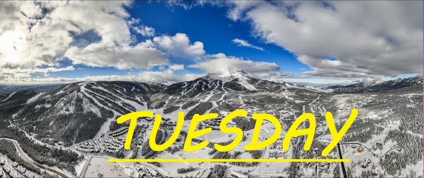
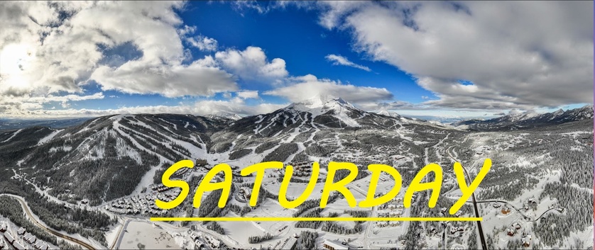
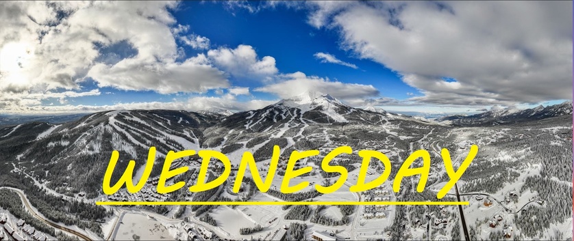
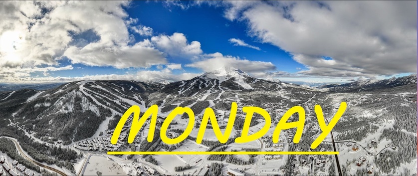
Just a trace of new snow over the last 24 hours here on Lone Mountain, but hey, every little bit counts. The full moon was beaming down on the snow all night long, as the air seemed to freeze into flurries. It is currently -17°F at the summit, and it is not expected to get much warmer up there today. We're looking at our coldest day thus far, for this particular cold snap, and it's seeming like these conditions will persist through tomorrow as well. Cold, crunchy, sticky styrofoam snow awaits, and some possible delays/closure of upper mountain terrain, as long as temps stay this low. Be sure to ski with extra caution out there today, as rescue situations in these conditions include an extra level of danger to everybody involved.
WIND AND TEMPS: Well I guess we just have to accept that in order for the wind to die down on Lone Mountian, temps have to drop significantly. Today's temps are expected to range between -17°F at the summit, and 7°F at the base, with mid mountain temps below zero all day long. And calm Northerly winds are expected to swirl, gusting to only 15mph at the summit. All of this under mostly sunny skies.
Pray for more snow that should start rolling in this weekend, and prepare for things to pickup just as the temperatures start to become bearable as well. If you're hoping to get lots of laps in with little human interaction, the next couple of days are the time to do it. Layer up on Layer, bubble after bubble, there's plenty of great skiing to be had. Our mid mountain base is 5 feet deep, and not going anywhere. With no significant snow or wind for a couple of days now, certainly things are getting a little skied, and a little bumpy, but there's still a great rhthym to the mountain, as the bumps have never had a chance to get gargantuan yet this year.
As always, remember to stay safe, and have fun out there.


