SnoFax
Travel • Sports • Preparedness
2/12/2025 SnoFax Update DELAYED OPENINGS, FRIGID
February 12, 2025
post photo preview

NO NEW SNOW FOR 24 HOURS

MID MOUNTAIN BASE DEPTH 5 FEET

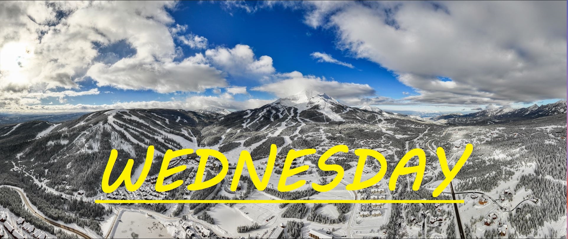
No significant snow for a few days here on Lone Mountain, but the story is the cold today. The resort has officially predicted delayed openings of their skiing, now that temps have dropped below -15°F at mid mountain--and below--as this is their threshold temp for lift operations. The summit is currently boasting -23°F and there's not a cloud in the sky. It's dead calm and the freeze has settled in. Very little change to the mountain over the past few days in fact, but things are not deteriorating much at all as the wind is not stripping anything away, there's not that many people skiing due to the cold, and of course nothing is melting. Yesterday's frigid temps were really not bad at all, sure temps didn't get above 0°F at mid mountain, but the sun was doing work keeping things warm. The pie in the ski is going to have a bit more work to do today to warm up our surfaces, but there should be a few hours during the middle of the day that are going to be quite bearable if your layer up right.

WIND AND TEMPS: Temps are gonna range between -25°F at the summit, and 5°F at the base, with mid mountain temps threatening to hover below -15°F until about 11am, so don't plan on getting out early. Come noon, our base and mid mountain should be warm enough to open a couple of lifts, I would be weary of the North Side though. Winds are calm and swirling out of the North. All under bluebird skies.

Our next snowy system is rolling in tomorrow, starting from the South, thankfully it's looking like things shouldn't be as windy as the last one. From the South Face to the North Facing Headwaters, things are holding up well, looking chalky and covered, and our midmountain is a casual skiers paradise. We could see the perfect storm with lines being packed for a powdery President's day, but there's going to be plenty of room to spread out and plenty of great skiing to be had. Pray for a big dump... or two.

As always, remember to stay safe, and have fun out there.

community logo
Join the SnoFax Community
To read more articles like this, sign up and join my community today
0
What else you may like…
Videos
Podcasts
Posts
Articles
Ice rink roads Big Sky

Slicker than snot, dead stop at town center

00:00:08
MORE SNOW FALLING IN BIG SKY 11/05/2024

A couple of inches already this morning and it's not stopping any time soon!

MORE SNOW FALLING IN BIG SKY 11/05/2024
SNOW on The Mountains!

6" recorded at ANDESITE, LIKELY EVEN DEEPER HIGHER UP! WINTER IS COMING SOON!

SNOW on The Mountains!
SnoFax. A snow report by the people, for the people.

Share this with your friends and let's create a new future of snow reports for Big Sky.

SnoFax. A snow report by the people, for the people.
More of the same!

More sun, temps to mid 30's and stead winds out of the west, gusting over 40mph at the summit! Wind blow chalk in the bowl!

SnoChunx

Today's report consists of more bodily fluids and suffering. Sorry again about the lack of reporting. We've been hit hard!

BRIEF SnoFax Tuesday 12.9.25

No now snow, warm temps, and winds gusting over 50mph. Expect scouring and melting up high and across the resort off piste, with a few pockets of wind blown stashes in areas that follow the wind.

Toddler is sick with the stomach bug!

post photo preview
SnoFax 12.13.25, More Warm Wind!

No new snow on Lone Mountain, and our mid mountain base rests at only 19" after several days with temps over freezing, and winds gusting out of the Southwest to 75mph at the summit. Some reports of fun, fast, windblown skiing in the bowl yesterday, but we sit on a razors edge with the temperatures, and if things freeze up before snow falls, we could be in for a rough day.

Today's temps, and temps for the next three days are expected to range between 20°F and 38°F, with wind out of the Southwest gusting to 20mph at mid mountain. All under a mix of clouds and sun.

Madison Base opened up yesterday, but Madison 8 did not. No skiing connection between the two sides of the mountains yet. Not sure a timeline on that. Winds are expected to remain steady and snow isn't supposed to show up until some time on Tuesday. More of the same out there in terms of skiing, while the base continues to be worn away by our edges. Should still be a great day to get out there and soak up some sun, cruise some chunky groomers, and maybe even find some wind blown chalk in the Bowl. Keep praying for snow and keep being patient!

Read full Article
post photo preview
SnoFax 12.10.25

TRACE-1.5" IN LAST 24 HRS

Sorry for the delayed correspondence as we rally after a drunk woman was pounding on our door and attempting to sleep on our porch the other night, followed by our toddler contracting a stomach bug. But today we've got a trace to an inch of new snow in the last 24 hours, and flakes are currently falling! More runs and lifts opening rapidly, as Iron Horse offered up some nice powdery turns the last couple of days. My hopes are that when Moonlight opens up, that the snow pack and base over there will be significantly better than it is on the Big Sky side, however there will still be lots of sharks lurking in Headwaters bowl and off of the top of Lone Tree if things don't really pick up here soon.

Today's temps are expected to range between 28°F and 38°F, with that warm breeze continuing to howl out of the West/Southwest, gusting to 50mph at the summit. All under snowy skies that are expected to deliver some minimal freshies throughout the day today.

A better chance for snow tonight and into tomorrow, with sun expected through the weekend before we can hope for our next storm. Things are improving bit by bit, and it seems ski patrol has been going hard to attack all of the weak snow layer that formed early this season, only to be covered up by heavy wind slabs after this new snow followed by high winds. Warmer temps today and through this weekend, keep praying for snow and letting the SnoFax community of any potential hazards out on the mountain. 

Read full Article
post photo preview
Monday 12.8.25 SnoFax, WINDY

24 HR SNOW: TRACE-1"

Just about a trace to an inch of snow across the resort in the last 24 hours. Temps are in the 20's at mid mountain and Westerly winds are gusting to 50mph at the summit. Once again snow is expected this evening, but if the winds pick up, maybe we will see some flakes before the lifts stop spinning today. Expect more cross loading in the Bowl, and possibly some wind buffed turns on the top Challenger, once you get out of the rocks. More off piste options at mid mountain now as well including Rice Bowl, which can be a great place to find wind loaded stashes on low snow days.

Today's temps are expected to range between 16°F, and 28°F, with winds out of the S/SW gusting to 40mph at mid mountain by the end of the day. All under mostly cloudy skies with snow not expected to fall until 4pm, but I'm feeling a bit more optimistic than that.

Every day is still a low snow day really, with the mid mountain base just below 2 feet deep. This storm that is expected to linger all weekend is forecasted to bring warmer wetter snow, along with more sustained winds than we have seen thus far. It all is going to depend on how the cold air creeps down from the North to meet with these strong winds out of the South. Since we've opened temps have for the most part been truly ideal for skiing, not to cold not too warm. Hopefully this snowy weekend primes us to get through what looks like a mini-warm snap next week.

Read full Article
See More
Available on mobile and TV devices
google store google store app store app store
google store google store app tv store app tv store amazon store amazon store roku store roku store
Powered by Locals