24 HOUR SNOW 1.5" - 3"
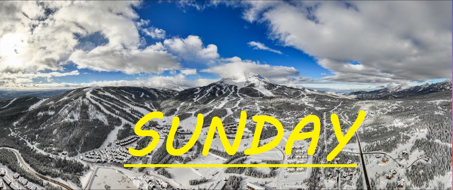
Well about another 3" has fallen across the resort over the last 24 hours, bringing this storm cycle to a total of about 15" everywhere already, with more snow expected over the next handful of days. Westerly winds are prevailing, gusting to only about 30mph at the summit overnight, and it looks like that pattern should continue today. It's a cold breeze out there for sure, and there won't be any sun poking through like yesterday to keep you warm. Yesterday's pow was extraordinary, and by 4pm there was plenty of soft turns still to be had everywhere your skis could take you. The upper mountain was firing on all cylinders as well, and things are only going to be better, with another few inches blown in on top of it all.
WIND AND TEMPS: Today's temps should range between 9°F at the summit, and 27°F at the base, with mid mountian temps in the low teens all day long. Winds are expected out of the West, gusting to about 35mph at the summit. All under cloudy snowy skies. Not a frigid day, but definitely chilly.
Well more spectacular storm skiing to be had today. Lines at base area lifts were long at times but manageable, people have plenty of room to spread out when headed downhill. With just a few inches of new snow, but a decent amount of wind with a lot of soft stuff to blow around, expect a delay for upper mountain terrain this morning as Patrol heads out to tackle any new drifts that have formed. Not much else to say as it's basically all good news out there. Only warning I might add is if an area is untouched, it's for a reason. I have heard a couple reports of some "painted rocks" in the A to Z's or headwaters, but other than that, skiing is consistent and epic.
As always, remember to stay safe, and have fun out there.


