3-4" IN LAST 24 HOURS, JUST A TRACE OVERNIGHT
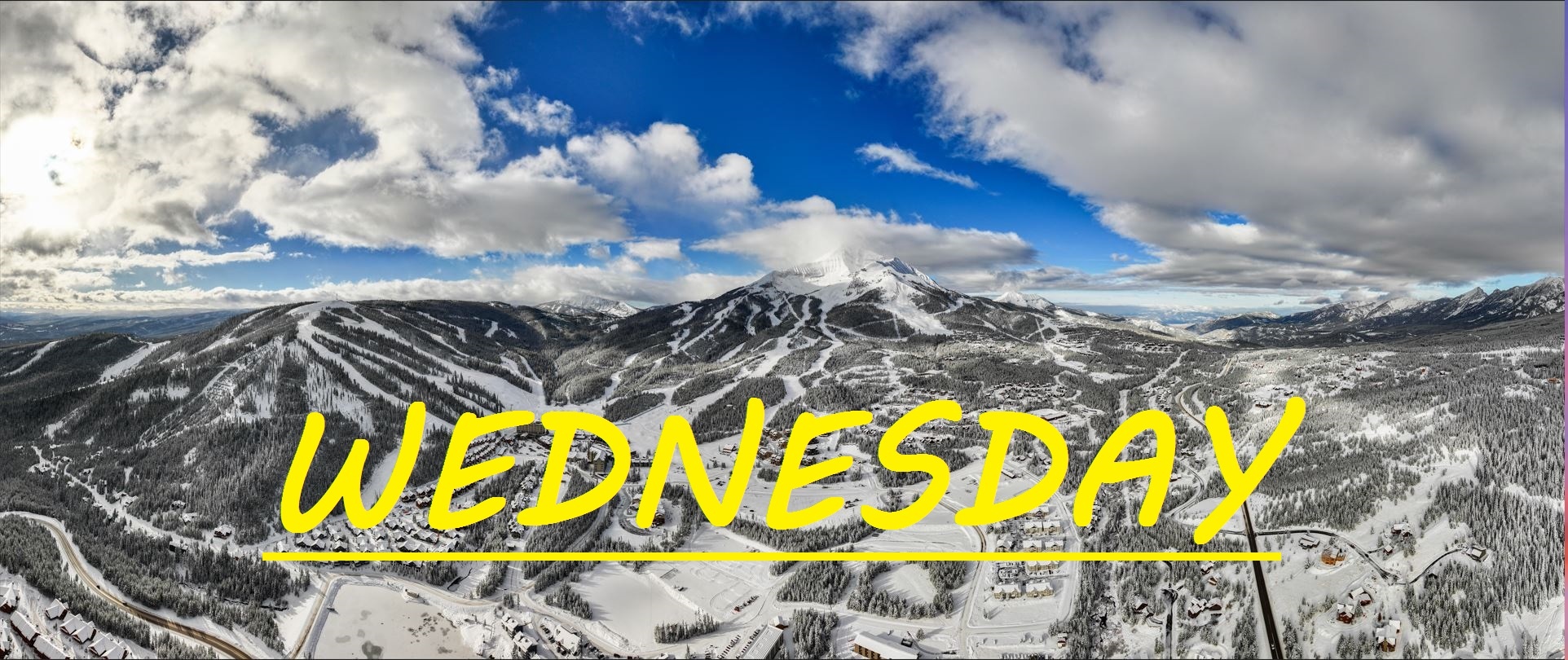
Yesterday's whiteout conditions brought us about 4" in the last 24 hours, with most of that snow falling during the day while lifts were spinning, and then another trace, to half an inch overnight. The sun tried poking through a little bit yesterday, but for the most part we were in a snow globe. Overnight, some of those clouds have been peeled back, and with that our temps have dropped into the single digits or below. Flurries are falling right now, but not much accumulation is expected througout the day today. If you've missed groomers or park skiing, today is the day to get out there and enjoy them this morning. But the story remains the same, the snow has been fantastic, and has been falling faster than it can get skied. Light Westerly winds may have done some wind grooming up top, and down low in the trees there's more than enough powder to go around.
WIND AND TEMPS: Today's temps are going to start off cold, only about 5°F at the base this morning. But before noon we should have temps ranging from 14°F at the summit, to 25°F at the base. Winds are expected to shift from W/NW to W/SW, gusting to only about 25mph at the summit. Temps should climb back up to what we have been used to for the past few days. There's expected to be a gap in the clouds this morning until about 11am, but we will just have to wait and see how that plays out.
Our base is certainly getting very deep out there, over 6 feet deep at Lobo currently. The forecast changes continually, shifting gradually towards more snow and less sun through the weekend, but it's looking like we shouldn't have to worry about the whiteout conditions we have been used to, for the next few days. Road conditions have been decent, all things considered, however visibility while driving has been the biggest issue.
As always, remember to stay safe, and have fun out there.


