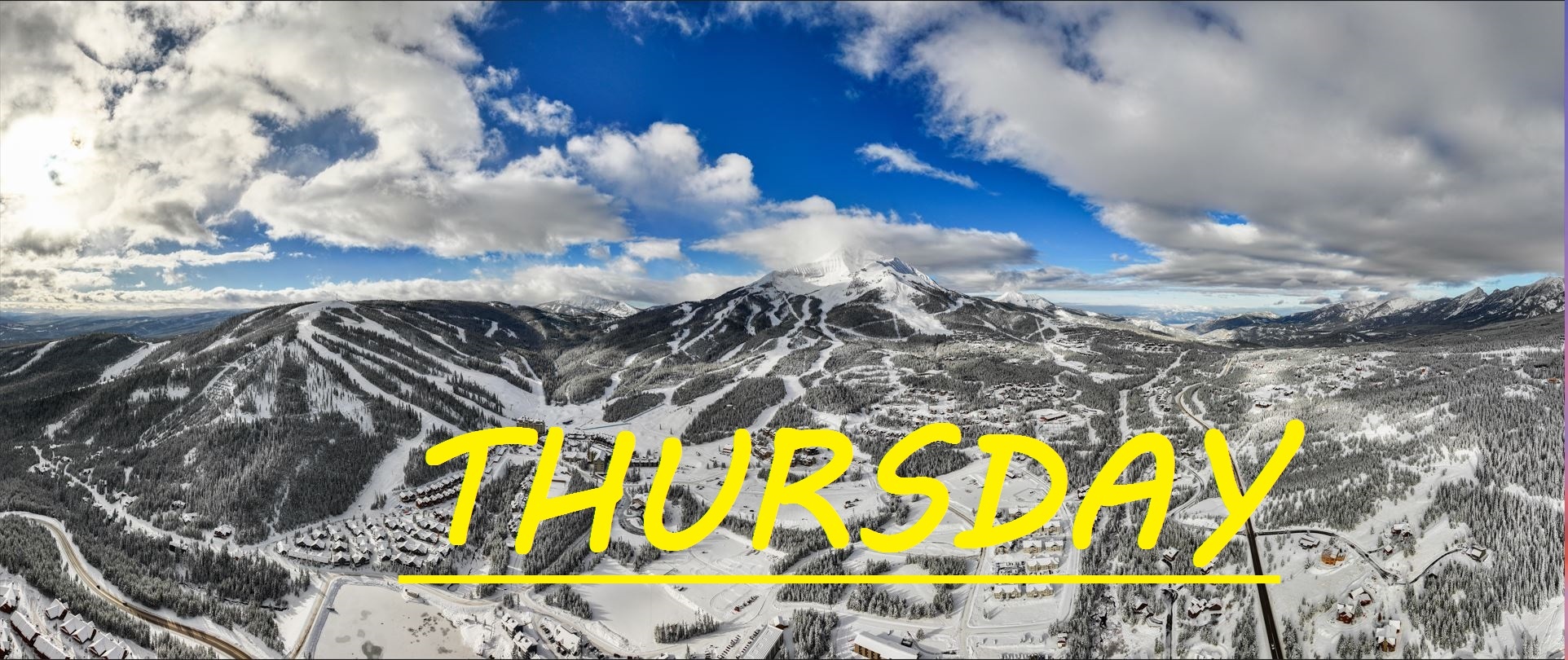
NO NEW SNOW FOR 24 HRS, MID MOUNTAIN BASE DEPTH 69"
No new snow in the last 24 hours, but we've had a few inches over the past few days that has made all the difference with our skiing. Today, it's gonna be slightly warmer than yesterday, and we may see some increased wind this afternoon. Mid Mountain temps stayed below freezing for the most part yesterday, but today we can expect to start seeing some melt higher up. Today begins a string of the warmest sunniest days yet, getting warmer each day through the weekend, so be ready to bust out that warm wax and don't wear too many layers. Things could start getting sticky down low even today. It won't take long and eveyrthing should be all mushy by noon.
WIND AND TEMPS: Temps should range between about 28°F at the summit, to 39°F at the base, with mid mountain temps in the 30's, and winds are expected out of the SW, gusting to about 40mph at the summit this afternoon. All under mostly sunny skies.
Well these winds today should help prevent a total melt down on our upper mountain, but after today we are looking at still warm air sitting over our slopes. Don't be alarmed, I have faith that there's plenty of powder skiing awaiting us, but we are beginning the pow slush cycle. Anything that got a good amount of sun yesterday is going to start out pretty firm out there, so don't rush up the mountain today unless you're hoping to rip some groomers. Also, black ice has plagued the canyon, along with pot holes, I'm not sure the stats but I would bet driving is statistically far more dangerous than skiing.
As always, remember to stay safe, and have fun out there.


