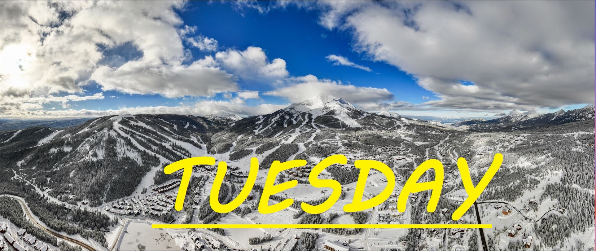
1-2" OVERNIGHT
NW winds have rolled in, bringing us 1-2" of new snow overnight, and dropping temps significantly. Dropping by 10-15°F overnight, the summit is in the single digits, and mid mountain temps are in the teens. With all of that heat just over the weekend, and temps 20's yesterday, it's sure to be pretty firm out there once agian. This snow has favored the South Side of the mountian, dropping 2" at Bavaria and Liberty. Every little bit helps and this is sure to have improved the skiing slightly compared to yesterday, but a few more inches would really help buff things out. Not much more expected today or tomorrow.
WIND AND TEMPS: Today's temps should range between 9°F at the summit and 32°F at the base, with mid mountain temps around 20°F, and winds are expected to remain fairly calm, gusting to only about 25mph at the summit out of the Northwest this morning, then shifting to start coming out of the Southwest by the afternoon. All under a mix of clouds and sun, with flurries on and off throughout the day.
Keep praying for snow and recognize that winter is not over, and every little bit does make a huge difference, especially if the wind is working it's magic. Get out for yourself and find if the dust is indeed stacking up on the crust an giving you more bang for your buck. Keep praying for snow because if the forecast is right, we are looking a bit of a powder famine for the rest of the week. Thankfully, any sunny spring skiing we might get should be a bit cooler than the last cycle, preventing a rapid meltdown. Roads are certian to be treacherous out there today as well, as new snow hits a warm road and creates a layer of ice as it freezes.
As always, remember to stay safe, and have fun out there.


