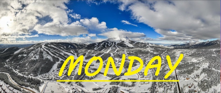
24 HR SNOW 3-4", 48HR SNOW 7-9"
Another 3-4" inches has fallen in the last 24 hours, with most of that snow falling throughout the day yesterday. Mid mountain temps have remained steady in the 20's meaning we have now thawing to worry about up there. At the summit, South winds have increased for the first time in a couple days, gusting to about 35mph overnight, hopefully loading up some of our upper mountain skiing. Sure those moguls are big, but coverage all across the resort is absolutely phenomenal. More perfect skiing temps expected out there, nothing stopping you from skiing all day long except your own will power.
WIND AND TEMPS: Today's temps are expected to range between 14°F at the summit, and 36°F at the base, with mid mountain temps in the mid 20's once again, and steady south winds are expected to continue, gusting to 45mph at the summit. All under mostly cloudy skies with some flurries throughout the day.
Layer upon layer keeps stacking up, and we can hope for at least a couple more this week. The biggest thing is-- temps are expected to drop even more over the next few days, so our snow is going to be preserved and savored. Countdown to closing day starts tomorrow as it seems March has come and gone in the blink of an eye. Some of the season's best skiing awaits as our base has only grown month after month. Start your week off right with another wintery leftover pow day.
As always, remember to stay safe, and have fun out there.


